land at Barrow, Bury St Edmunds (IP29 5AA)
HM Land Registry title SK362513 · Freehold · IP29 5AA
WEST SUFFOLK, SUFFOLK, EAST ANGLIA
Who owns it
- Barrow Cum Denham Parish Council
Proprietorship: Local Authority.
The property in pictures
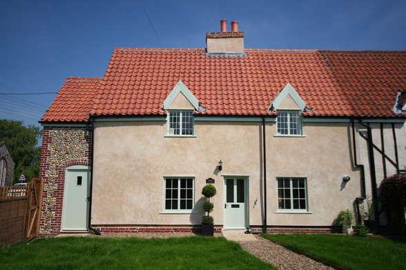
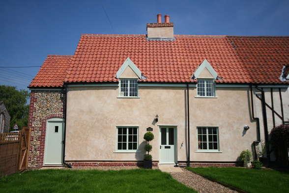
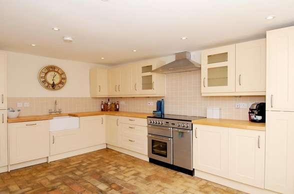
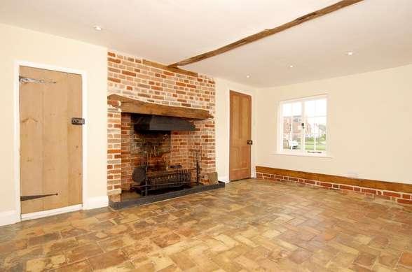
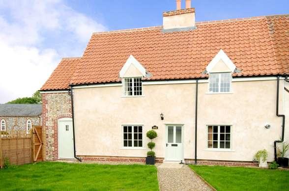
Photographs matched to this address by Kronaxis property FaceID, from marketing listings. A past or present listing, not a current offer.
Map of the land
Title plan boundary from HM Land Registry INSPIRE (Open Government Licence v3.0), drawn on OpenStreetMap.
The land
186 m² (0.05 acres) on the title plan. INSPIRE parcel 33485093.
Planning at this postcode
- Application for listed building consent - re-rendering of external walls and removal of plinth banding to all walls
Pending Consideration, 2026-05-07 · West Suffolk Council · DC/26/0722/LB - Householder planning application - single storey extension to rear of dwelling
Approve application, 2025-08-27 · West Suffolk Council · DC/25/1044/HH
Local planning authority records. Applications at the postcode, which may cover neighbouring addresses.
This is the corporate ownership of the title as HM Land Registry records it. The full register entry, including any charges, is at HM Land Registry.
Information produced by HM Land Registry © Crown copyright and database right. A matter of public record about the property's corporate owner, not about any person.